17:00 - 25.02.2025
February 25, Fineko/abc.az. It is possible to predict productivity in vast territories of Azerbaijan on the basis of satellite images and traditional assessment methods.
ABC.AZ informs that Ismet Bakhishov, the director of the Center for Geographic Information Systems of Azercosmos Space Agency, made the relevant statement at an event on "Agricultural insurance in Azerbaijan: development & prospects".
"For this purpose, various indicators of vegetation are calculated and modeled in combination with field observations in order to obtain more accurate yield indicators as a result," Bakhishov emphasized.
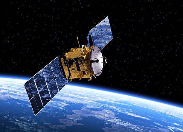
He added that space technologies are widely used in the agricultural sector of Azerbaijan, as well as in many countries around the world: "In particular, the data obtained with the help of climate satellites located in a medium orbit makes it possible to make more accurate weather forecasts, which is important for the agricultural sector operating in open areas."







1 September 2026
1 September 2026
1 September 2026
1 September 2026
30 August 2026
30 August 2026
30 August 2026
31 August 2026